The short version
- 111 days, about 75–76 km on foot, topping out at 4,940m. Rated Moderate on Trail to Tides.
- 2Best in Mar–May, Sep–Nov.
- 3Starts from Yuksom, reached via Yuksom.
- 42 nights gain more than 500 m above 3,000 m. That's common on Himalayan treks, but it's where altitude sickness tends to show up: go slowly the day before and drink well.
- 5Operators charge ₹20,000 to ₹21,000 per person; 4 listed, 3 verified.
The trek
Overview
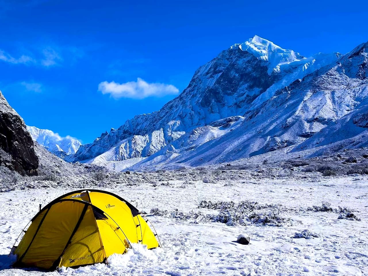
Goechala is Sikkim's premier trek — 11 days through the Kanchendzonga National Park to a 4,940m viewpoint facing the south wall of Kangchenjunga, the world's third highest mountain, which fills the entire horizon at arm's reach. On the way, the rhododendron forest between Yuksom and Dzongri is among the most biodiverse — and globally rare — on Earth.
Right for you if
- You've slept above 4,000m without getting properly sick
- You can take 11 days on the trail, plus a 7–8 hour drive each way from Bagdogra to Yuksom
- You'll start at 2–3am for Kangchenjunga at sunrise from View Point 1
- Trekkers' huts and tents are fine: cold nights near 4,000m
Think twice if
- You'd go without a licensed Sikkim guide: it's mandatory, and permits depend on it
- You're going in Jun–Aug: the monsoon closes the route
- You have a heart, lung or blood-pressure condition without a doctor's OK for 5,000m
Season
When to go
Spring: longer days and rhododendrons lower down. Snow can linger on high ground into May, and afternoons often bring cloud or a shower.
Autumn: the clearest skies and steadiest weather of the year. Nights get cold quickly from October, and early snow is possible in November.
More on the Himalayan seasons: When to go.
Travel
Getting there
Meet in
Yuksom
Nearest airport
Bagdogra
Nearest railway
New Jalpaiguri (NJP)
By road
Bagdogra or NJP to Yuksom, about 150 km and 6 to 7 hours
Most operators run a shared pickup from Yuksom early on day one. Arrive the evening before so a late train or flight doesn't cost you the trek, and keep a buffer day at the end: mountain roads close for landslides and snow. Travel times are approximate.
Itinerary
Day by day
A typical plan, measured along the mapped trail: 30 km with about 3,120 m of climbing. The biggest day is day 2, climbing 1,120 m. Operators vary it a little.
- Day1
Yuksom → Sachen
Out of Yuksom into dense forest
7.6 km540 m90 msleep at 2,206 m
- Day2
Sachen → Tshoka
Over the Prekchu on a high bridge and up to a small Tibetan settlement
5.8 km1,120 m60 msleep at 3,323 m
- Day3
Tshoka → Dzongri
Through rhododendron forest to the open Dzongri meadow
5.6 km780 m50 msleep at 4,031 m
- Day4
Rest day at Dzongri
Acclimatisation day: up Dzongri Top at dawn for Kanchenjunga and Pandim
- Day5
Dzongri → Thansing
Down to the Prekchu and along its valley, Pandim above
5.7 km290 m380 msleep at 3,926 m
- Day6
Thansing → Lamuney
A short walk to the last camp
3.5 km190 m0 msleep at 4,130 m
- Day7
Lamuney → Thansing
via Samiti Lake
Leave around 2 am, past Samiti Lake to the viewpoint facing Kanchenjunga at sunrise, then back down
7.2 km170 m370 msleep at 3,926 m
- Day8
Thansing → Tshoka
A long descent the way you came, skipping Dzongri
11.2 km440 m1,070 msleep at 3,323 m
- Day9
Tshoka → Yuksom
Down through the forest to Yuksom
13.4 km160 m1,690 msleep at 1,763 m
Altitude
Altitude and acclimatisation
Start
1,763 m
Highest night
4,130 m
Highest point
4,307 m
Know the warning signs before you go: Altitude sickness.
Fitness
How fit you need to be
Rated Moderate. A fair benchmark before you go: jog 5 km in about 40 minutes, or climb 40 floors with a 5 kg pack.
What this trek asks of you, on the ACE scale from 0 to 5:
Take the Matchmaker to compare yourself against these scores, and use the 8-week plan to close any gaps. How ACE works.
Paperwork
Permits and paperwork
- Inside Khangchendzonga National Park. Permits are only issued through registered agencies.
- Treks are permitted through registered Sikkim agencies, which arrange the permits. Foreign nationals need additional area permits.
- Carry original government photo ID and a few photocopies.
- Rules and fees change. Ask your operator what's included and what you need to bring, two weeks before you go.
More detail: Permits and documents.
Kit
What to pack
For Goechala Trek in particular, on top of the standard layers:
- Warm layers for a high camp well below freezing, even in summer, and glacier glasses for snow
- Broken-in trekking shoes with ankle support, trekking poles, and a 25 to 35 litre daypack with a rain cover
The full list and how to layer: What to pack. The trek page has a tick-off checklist for this trek.
Safety
Safety on this trek
- Altitude is the main risk. Don't go higher with symptoms; descend if they get worse.
- Stay between the leader and the sweep, and respect the turnaround time on summit or pass days.
- Signal is scarce beyond the roadhead. Share your itinerary and your operator's emergency number with someone at home.
See also Trail craft and Insurance and emergencies.
Booking
Booking and cost
4 operators run this trek on Trail to Tides, from ₹20,000 to ₹21,000 per person. Prices usually cover the trek from the roadhead; check transport, permits and offloading.
- Bikat Adventures4.8₹20,000
- Indiahikes4.8₹20,000
- Trekup India4.3₹20,000
- Trek The Himalayas4.7₹21,000
What to ask before you pay: Choosing an operator.
Navigation
Offline map and GPX
Download the trail, with every overnight stop and its height, and load it on your phone before you lose signal.
Trail © OpenStreetMap contributors, via BRouter.
FAQ
Questions people ask
How difficult is the Goechala Trek?
It's rated Moderate on Trail to Tides. A fair benchmark before you go: jog 5 km in about 40 minutes, or climb 40 floors with a 5 kg pack. The highest point is 4,940m, so pace and acclimatisation matter as much as fitness.
When is the best time for the Goechala Trek?
Mar–May, Sep–Nov. Spring: longer days and rhododendrons lower down. Snow can linger on high ground into May, and afternoons often bring cloud or a shower.
How many days does the Goechala Trek take?
11 days including travel to and from the trailhead, with 8 walking days. Add a buffer day for weather or road delays.
How do I reach the Goechala Trek?
Most groups meet in Yuksom. Nearest airport: Bagdogra. Nearest railway: New Jalpaiguri (NJP). Bagdogra or NJP to Yuksom, about 150 km and 6 to 7 hours.
How much does the Goechala Trek cost?
Listed operators charge from ₹20,000 to ₹21,000 per person. Check what's included: transport, permits, meals, tents and offloading vary.
Do I need a permit for the Goechala Trek?
Inside Khangchendzonga National Park. Permits are only issued through registered agencies. Treks are permitted through registered Sikkim agencies, which arrange the permits. Foreign nationals need additional area permits.
This guide is built from Trail to Tides' trek data, mapped trails and operator listings, and checked by our team. Conditions change with weather and seasons: your trek leader's call on the day always comes first.