The short version
- 19 days, about 30 km on foot, topping out at 3,640m. Rated Hard on Trail to Tides.
- 2Best in Mar–May, Sep–Nov.
- 3Starts from Pokhara, reached via Pokhara.
- 4One night gains more than 500 m above 3,000 m. That's common on Himalayan treks, but it's where altitude sickness tends to show up: go slowly the day before and drink well.
- 5Operators charge ₹40,000 per person; 1 listed, 1 verified.
The trek
Overview
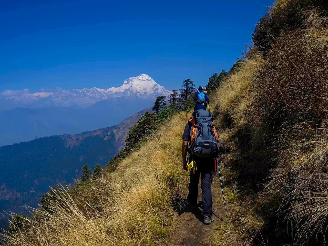
Khopra Danda is a hidden gem of the Annapurna Conservation Area — a quieter alternative to ABC and the Annapurna Circuit, with far fewer trekkers. Its ridge teahouse at 3,640m has a 360° panorama, and at dawn, Dhaulagiri to the west and the entire Annapurna South face to the east make it one of Nepal's great unsung viewpoints.
Right for you if
- You want Annapurna and Dhaulagiri views without the crowds of the big trails
- You can climb steep forest trail for 5–6 hours with a daypack
- Simple community lodges are fine: dorm rooms, dal bhat, few hot showers
- You can take 9–10 days off, Pokhara to Pokhara
- You're Indian: no visa needed, just a passport or voter ID
Think twice if
- You plan to walk without a guide: the trail above Swanta is poorly marked
- You want plenty of lodge choice and comforts: the villages here are small
- You're going in the monsoon (Jun–Aug): leeches, and cloud hides the views
Season
When to go
Spring: longer days and rhododendrons lower down. Snow can linger on high ground into May, and afternoons often bring cloud or a shower.
Autumn: the clearest skies and steadiest weather of the year. Nights get cold quickly from October, and early snow is possible in November.
More on the Himalayan seasons: When to go.
Travel
Getting there
Meet in
Pokhara
Nearest airport
Kathmandu, then a flight or 6 to 8 hour drive to Pokhara
Nearest railway
No railway; Gorakhpur is the nearest Indian railhead for the border
By road
Pokhara to the trailhead, about 1 to 2 hours
Most operators run a shared pickup from Pokhara early on day one. Arrive the evening before so a late train or flight doesn't cost you the trek, and keep a buffer day at the end: mountain roads close for landslides and snow. Travel times are approximate.
Itinerary
Day by day
A typical plan, measured along the mapped trail: 28 km with about 3,440 m of climbing. The biggest day is day 1, climbing 1,030 m. Operators vary it a little; figures marked ≈ are estimates where the path isn't mapped.
- Day1
Nayapul → Ulleri
Along the Bhurungdi river, then over 3,000 stone steps up to Ulleri
10.8 km1,030 m20 msleep at 2,005 m
- Day2
Ulleri → Ghorepani
Through rhododendron forest to the village under Poon Hill
7.9 km810 m0 msleep at 2,896 m
- Day3
Ghorepani → Swanta
Off the main trail to a quiet Magar village
4.9 km100 m740 msleep at 2,238 m
- Day4
Swanta → Chistibung
Up through forest to a high clearing
≈2.3 km810 m100 msleep at 2,941 m
- Day5
Chistibung → Khopra Danda
Onto the ridge facing Dhaulagiri and Annapurna South
2.2 km680 m20 msleep at 3,639 m
- Day6
Khopra Danda → Khopra Danda
via Khayer Lake
A long day out to the sacred Khayer Lake at 4,660 m and back
16 km1,000 m1,000 msleep at 3,639 m
- Day7
Khopra Danda → Swanta
Back down the way you came
4.5 km110 m1,490 msleep at 2,238 m
- Day8
Swanta → Nayapul
Down to the road
23.5 km740 m1,940 msleep at 1,013 m
Altitude
Altitude and acclimatisation
Start
1,013 m
Highest night
3,639 m
Highest point
3,639 m
Know the warning signs before you go: Altitude sickness.
Fitness
How fit you need to be
Rated Hard. A fair benchmark before you go: jog 5 km in about 35 minutes, and manage a 4 to 5 hour hill walk with a pack.
What this trek asks of you, on the ACE scale from 0 to 5:
Take the Matchmaker to compare yourself against these scores, and use the 8-week plan to close any gaps. How ACE works.
Paperwork
Permits and paperwork
- Annapurna Conservation Area Permit (ACAP).
- National park or conservation area permits, plus any trekker registration. Indian citizens need a passport or voter ID; no visa.
- Carry original government photo ID and a few photocopies.
- Rules and fees change. Ask your operator what's included and what you need to bring, two weeks before you go.
More detail: Permits and documents.
Kit
What to pack
For Khopra Danda Trek in particular, on top of the standard layers:
- A warm down or synthetic jacket for nights near or below freezing
- Broken-in trekking shoes with ankle support, trekking poles, and a 25 to 35 litre daypack with a rain cover
The full list and how to layer: What to pack. The trek page has a tick-off checklist for this trek.
Safety
Safety on this trek
- Altitude is the main risk. Don't go higher with symptoms; descend if they get worse.
- Stay between the leader and the sweep, and respect the turnaround time on summit or pass days.
- Signal is scarce beyond the roadhead. Share your itinerary and your operator's emergency number with someone at home.
See also Trail craft and Insurance and emergencies.
Booking
Booking and cost
1 operators run this trek on Trail to Tides, from ₹40,000 per person. Prices usually cover the trek from the roadhead; check transport, permits and offloading.
- Trek The Himalayas4.7₹40,000
What to ask before you pay: Choosing an operator.
Navigation
Offline map and GPX
Download the trail, with every overnight stop and its height, and load it on your phone before you lose signal.
Trail © OpenStreetMap contributors, via BRouter.
FAQ
Questions people ask
How difficult is the Khopra Danda Trek?
It's rated Hard on Trail to Tides. A fair benchmark before you go: jog 5 km in about 35 minutes, and manage a 4 to 5 hour hill walk with a pack. The highest point is 3,640m, so pace and acclimatisation matter as much as fitness.
When is the best time for the Khopra Danda Trek?
Mar–May, Sep–Nov. Spring: longer days and rhododendrons lower down. Snow can linger on high ground into May, and afternoons often bring cloud or a shower.
How many days does the Khopra Danda Trek take?
9 days including travel to and from the trailhead, with 8 walking days. Add a buffer day for weather or road delays.
How do I reach the Khopra Danda Trek?
Most groups meet in Pokhara. Nearest airport: Kathmandu, then a flight or 6 to 8 hour drive to Pokhara. Nearest railway: No railway; Gorakhpur is the nearest Indian railhead for the border. Pokhara to the trailhead, about 1 to 2 hours.
How much does the Khopra Danda Trek cost?
Listed operators charge from ₹40,000 per person. Check what's included: transport, permits, meals, tents and offloading vary.
Do I need a permit for the Khopra Danda Trek?
Annapurna Conservation Area Permit (ACAP). National park or conservation area permits, plus any trekker registration. Indian citizens need a passport or voter ID; no visa.
This guide is built from Trail to Tides' trek data, mapped trails and operator listings, and checked by our team. Conditions change with weather and seasons: your trek leader's call on the day always comes first.